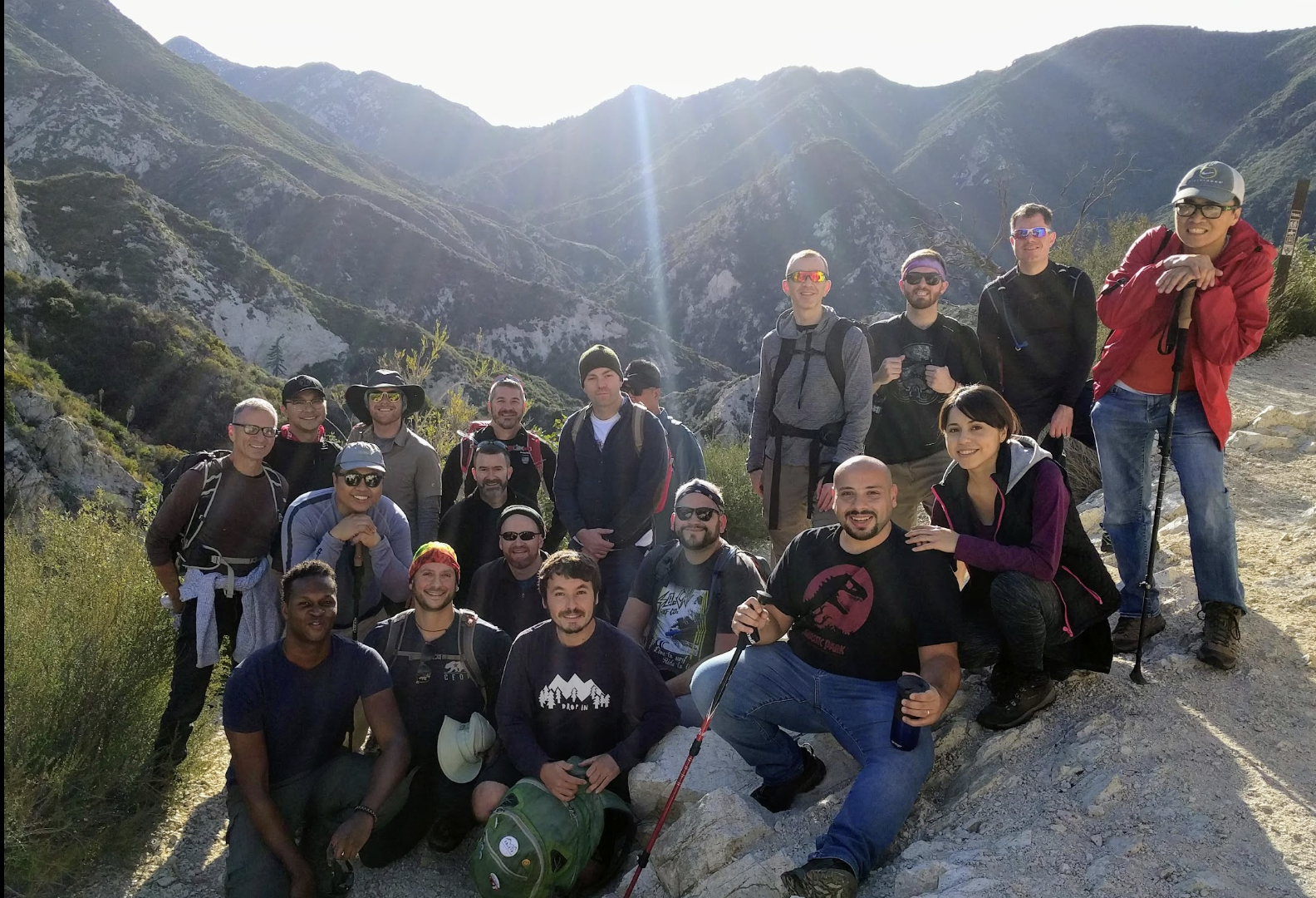
What are you doing Sunday? Short notice, but join Bryan for this beautiful hike we've been waiting to do again! It's a gem of a trail: Bear Canyon, just a few miles north of Pasadena. And mostly downhill!
We will have a lunch break. Moderate pace hike. Please register for this hike, so I know who to expect.
Time: 8:00 a.m. Hike leaves 8:10 a.m.
Meeting location: Switzer Picnic Area parking lot (Google maps link)
Near: La Canada Flintridge, San Gabriel Mountains
Distance: 8.1 mile hike, point-to-point (car shuttle)
Hike time: 5-6 hours
Difficulty: Intermediate
Elevation Gain: Ascent: 880’; Descent: -2,729’
Type: Point-to-point. We will be utilizing a car shuttle system.
.png)
Relatively untravelled, this route is a one-way "car shuttle hike." We'll meet at our lower ending spot (Switzer Picnic Area) and leave half the cars there. We'll carpool to our upper beginning trailhead (Eaton Saddle) and hike down from there. After our hike, the cars at the end will shuttle drivers back to retrieve the cars at the trailhead. This requires cooperation and making sure everyone is accounted for.

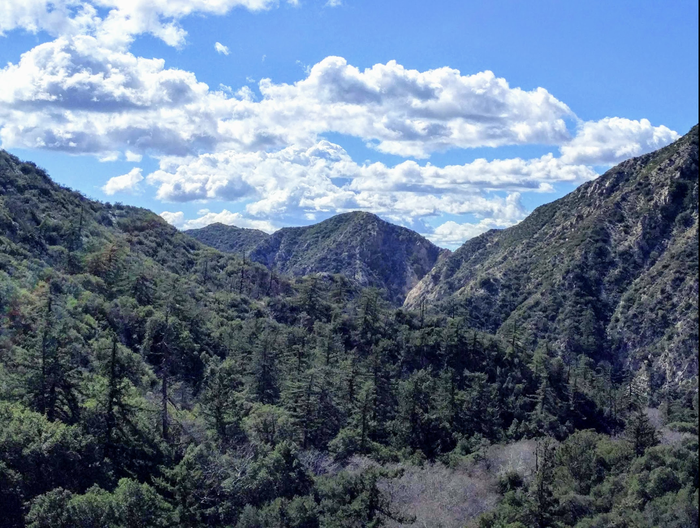
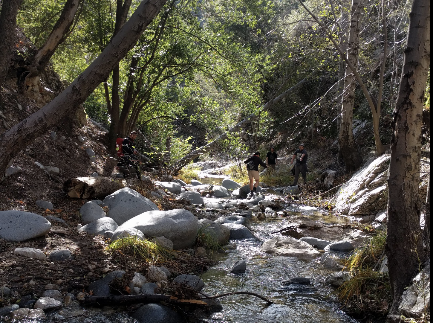
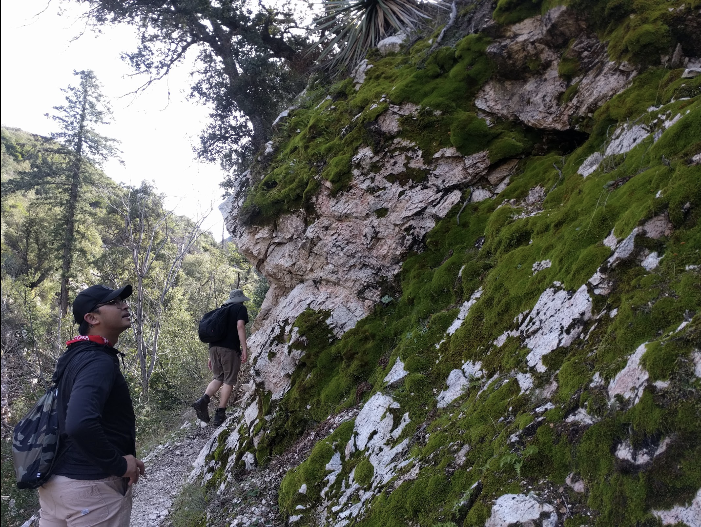
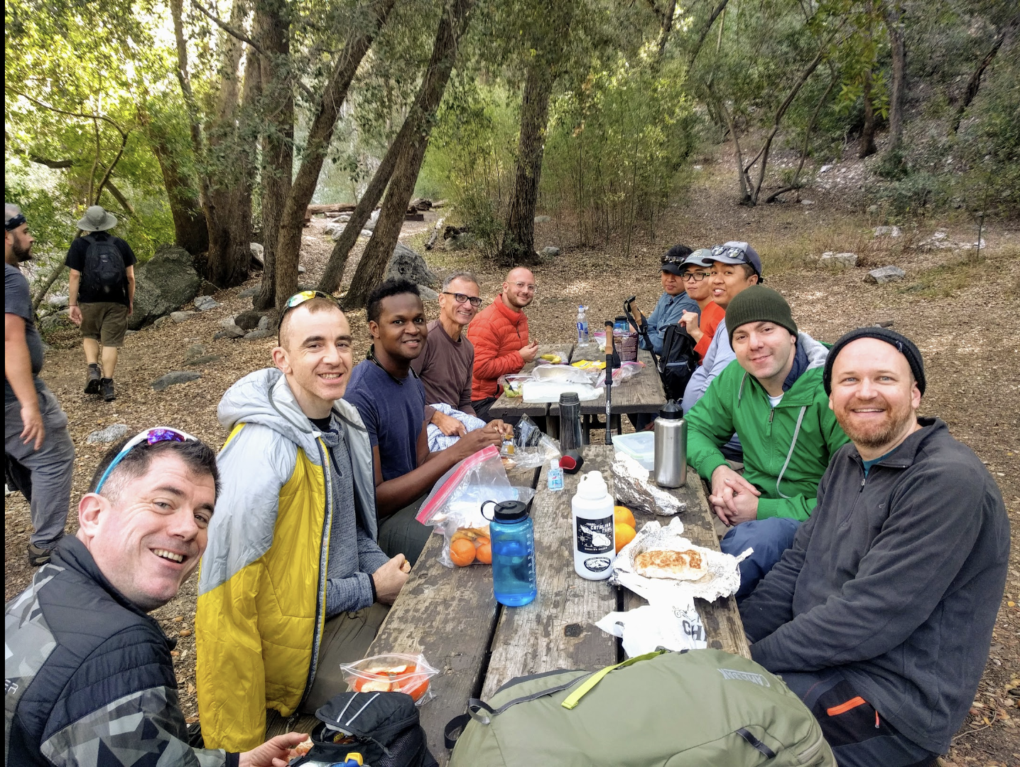 Trail type: This trail begins by following a ridge that has amazing city and mountain views and a few steep drop-offs. After descending into the canyon, we will follow a very lightly-traveled but well-maintained trail with multiple stream crossings. We’ll have our lunch at Bear Canyon Campground. We’ll then continue to Switzer Falls and then make our final ascent out of the canyon and back to the popular Switzer day-use area.
Trail Description: Read the full description here. You can download the free Hiking Project app so you have the trail/GPS on your phone.
Start by taking the Mt. Lowe Road west from Eaton Saddle as it winds along the steep south slope of San Gabriel Peak with breathtaking views of Eaton Canyon to the south. As it passes through the Mueller Tunnel note the remains of a trail ... continue reading

Good boots, walking sticks and stream crossings: The hike meanders back and across the stream running down the spectacular Arroyo Seco Canyon. There may be stream crossings, requiring crossing over wet logs, boulders, and potentially getting our feet wet. Hiking boots with good grip recommended. A good balance and a walking stick can help.
Meeting Point/Parking: We are meeting early because the Switzer parking lot is very popular and gets full fast. From the 210 Freeway, take the CA-2 North toward the Angeles Crest Highway in La Canada Flintridge. Enter the mountains, and continue east on CA-2 for 9.8 miles. At the Clear Creek Information Center, continue east (right turn) on CA-2 and then look for the Switzer Picnic Area sign on the right. If the gate is open, descend down Switzer Truck Trail to the lower parking area. Park at the bottom lot if it is available. Otherwise, park at the top lot. Save the Google map location offline so you have it on your phone in the mountains.
Covid-19 protocol: Vaccines required.
*** Please bring your mask so you can carpool with others to the trailhead (car shuttle).

What to Bring: Good hiking boots/shoes, snacks/lunch, plenty of water, and wear layers (as canyon is mostly shaded, and can get cold).
Hike Leaders: Bryan Matsumoto. If you have any questions, please contact Bryan at 626-246-8634, e-mail: bmotzbmotz@gmail.com
Health Problems/allergies: It is the responsibility of participants to carry on their person a record of significant allergies, medications and medical history in the event of a medical emergency. Discuss any medical concerns with the hike leader if you wish.
We recommend you read our suggested 10 essential items to bring.
Adventure Pass: Buy parking pass ahead of time near the Forest. But don't worry too much, if you don't have it and get a ticket (rare), it is just the cost of the pass. ($5)
Seller locations include: Some 7-Elevens, gas stations, Big 5, REI, USFS visitor centers: https://www.fs.usda.gov/detailfull/r5/passes-permits/recreation/?cid=stelprdb5181410
The closest is this Shell gas station right off the highway exit.
* Photos from Great Outdoors LA